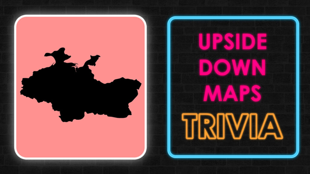
Can you look at a lone black silhouette on a blank white screen and immediately name the nation it represents? If you love a good world map puzzle or want to test your geographic skills, playing a guess the country game is the perfect way to challenge your brain.
To guess the country by shape, you must train your eyes to recognize distinct coastal borders, island chains, and landlocked geometric borders without the help of labels or neighboring colors. It is the ultimate test of visual memory and spatial reasoning. Based on available data, identifying isolated landmasses requires a totally different cognitive skill set than reading a labeled political atlas.
In this comprehensive guide, we break down the secrets of the country shape challenge, share the most recognizable map profiles, and give you actionable tips to ace your next geography map quiz.
Why the Country Outline Quiz is the Perfect Brain Trainer
Many people can spot a nation when it is surrounded by its neighbors on a traditional colorful globe. However, isolating the borders changes the game entirely.
When you strip away neighboring borders, colors, text labels, and capital city markers, you are left with a raw country outline quiz. This format forces your brain to utilize spatial visualization. It strips away all external context clues, leaving only the pure geometry of the land.
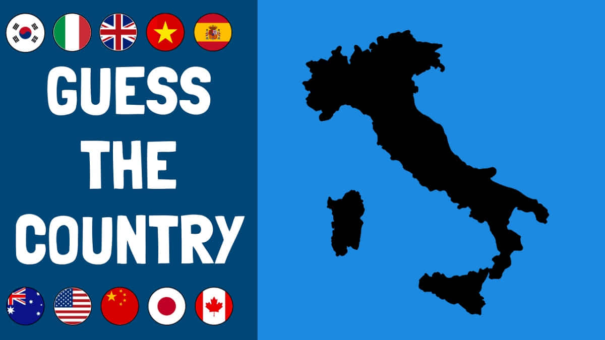
Geographical puzzles are excellent for improving long term memory recall. Identifying a territory by its bare silhouette exercises your visual cortex and sharpens your analytical skills. It requires you to match abstract geometric lines with mental images stored in your memory. This mental exercise creates strong neural pathways that help with general spatial awareness. This format forces your brain to utilize spatial visualization. You can read more about how spatial visualization works on Britannica.
How to Analyze a Map Shape Quiz Like a Pro
Experienced trivia players do not just look at a shape randomly. They break down the silhouette into specific geographic features.
When you look at a guess the country map, you can use several visual cues to solve it quickly. Here are the three main elements to look out for during your next game session.
1. Coastal Smoothness vs. Island Fragmentation
Is the border perfectly solid, or is it broken up into thousands of tiny pieces? Archipelagos like Indonesia or Japan have highly recognizable fragmented shapes that spread across the ocean.
On the other hand, countries like Poland or Romania have relatively continuous land borders with very few detached islands. Noting whether a country is an island chain, a peninsula, or a solid landmass eliminates dozens of wrong options instantly.
2. Geometric Artificial Borders
Some national borders look completely natural because they follow winding rivers, deep valleys, or high mountain ridges. Other borders look like they were drawn with a plastic ruler and a pencil.
For example, many nations in Northern Africa and the Middle East feature perfectly straight lines. These straight lines indicate borders drawn along lines of latitude or longitude, which gives you a huge clue about the geographic region.
3. Iconic Animal and Object Analogies
The easiest way to guess the country by outline is to look for familiar everyday shapes. For generations, students have learned geography by finding recognizable objects hidden within the borders of different lands.
-
Italy: The ultimate geographic silhouette. It looks exactly like a high-heeled boot kicking a football, which is the island of Sicily.
-
Japan: A long, elegant, crescent-shaped volcanic archipelago stretching across the Pacific Ocean.
-
Chile: A remarkably long and narrow strip of land pinned between the tall Andes Mountains and the sea.
-
Somalia: The definitive shape of the Horn of Africa, curving like a sharp tooth or a rhinoceros horn. For a similar visual-recognition challenge with a different theme, try our guess the city from its skyline quiz.
Region-by-Region Breakdown for the Country Shape Challenge
To truly master this skill, it helps to study the world region by region. Each continent has its own unique cartographic style based on both natural history and human politics.
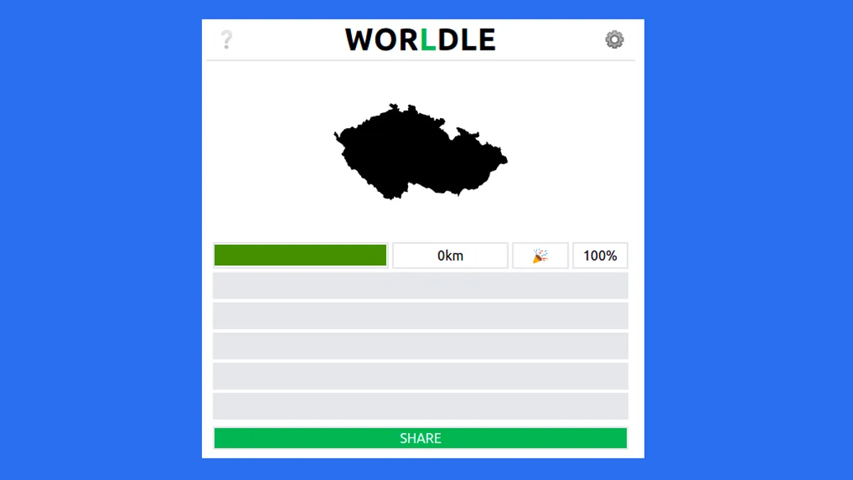
The Recognizable Shapes of Europe
Europe features some of the most deeply indented coastlines in the world. This makes European nations highly distinct in a country silhouette quiz.
France is famous for its balanced shape, often referred to as the Hexagon. The United Kingdom looks like a seated mythical figure looking out toward the Atlantic Ocean, accompanied by the distinct profile of Northern Ireland next to it. Greece stands out immediately due to its massive scattering of thousands of tiny southern islands and the unique Peloponnese peninsula.
The Massive Outlines of Asia
Asia contains some of the largest landmasses on Earth, which presents a different kind of difficulty in an outline country puzzle.
India forms a giant, recognizable triangle pointing directly down into the Indian Ocean. Vietnam looks like a long, graceful letter S that tracks the coastline of the South China Sea. Keeping track of how these massive nations curve can help you identify them in a few seconds.
Master Checklist: Tricky Outlines That Trip People Up
Not every outline country puzzle is easy to solve. Many nations share incredibly similar geometric proportions, which can easily confuse you during a timed trivia match.
The table below breaks down the most commonly confused shapes based on available data from global trivia platforms, along with the specific visual tricks you can use to tell them apart.
| Easily Confused Pairs | Why They Look Similar | How to Tell Them Apart |
| Colorado vs. Wyoming | Both are nearly perfect rectangles. | Colorado is slightly wider, while Wyoming is a true mathematical rectangle with zero natural river borders. |
| Norway vs. Sweden | Both are long, vertical Scandinavian nations. | Norway features a deeply jagged western coastline full of fjords, while Sweden has a smoother eastern coastline. |
| Egypt vs. Libya | Both are large, blocky nations situated in North Africa. | Egypt has a distinct northeast corner that connects to the Sinai Peninsula, whereas Libya is much more uniform. |
| Ghana vs. Ivory Coast | Both are squarish coastal West African countries. | Ghana has the massive Lake Volta clearly visible on its eastern edge, creating a huge internal water cutout. |
| Madagascar vs. Great Britain | Both are large, vertically oriented coastal islands. | Madagascar is completely smooth on its eastern side, while Great Britain is highly jagged on all sides. |
Pro Strategies to Ace a Country Shape Challenge
If you want to transition from a casual puzzle player to a genuine geography expert, you need a systematic method. Here is the exact step-by-step process you should use whenever a new outline pops up on your screen.
Step 1: Check for External Landmass Pieces
Look closely at the edges of the main image. Are there tiny dots representing distant territories or nearby coastal islands? For example, seeing the small detached outline of Tasmania immediately tells you that you are looking at Australia. Seeing the long chain of the Aleutian Islands points directly to the United States.
Step 2: Estimate the Aspect Ratio
Is the country tall and thin, or wide and flat? A vertical orientation instantly narrows your guesses down to countries like Chile, Vietnam, or Norway. A horizontal orientation points toward nations like Russia, Turkey, or the United States.
Step 3: Look for Massively Jagged Borders
Deeply serrated edges usually mean one of two things. It either shows a coastline filled with glacial fjords, like Canada or Chile, or it shows an complex land border determined by a winding river system, like the Democratic Republic of the Congo.
Advanced Strategies for the Ultimate Geography Map Quiz
Once you master the major nations, you will encounter smaller territories that present unique visual challenges. Small island nations and landlocked microstates often look like simple blobs at first glance, but they possess subtle clues.
Memorizing Enclaves and Perforated States
An enclave is a country completely surrounded by the territory of another country. In a map shape quiz, these nations look like they have a literal hole punched out of them.
The primary example is South Africa. If you look closely at its silhouette, you will notice a small, empty, landlocked space near its eastern side. This empty space belongs to the kingdom of Lesotho. Recognizing this unique negative space allows you to identify two nations simultaneously. If tricky visual details are your thing, our find hidden number image puzzle tests a similar kind of close observation.
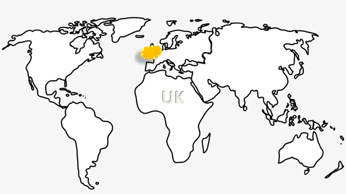
The Power of Scale and Context
One major difficulty with isolated outlines is the lack of a consistent scale. A tiny island nation like Malta can be magnified to look just as large as Australia on a digital screen.
To overcome this, look for the level of detail in the borders. Microstates often have highly detailed, jagged boundary lines when magnified, whereas massive nations maintain clean, sweeping continental lines even at standard resolutions. For more on how scale can trick the eye, see our optical illusions that will break your brain.
Summary of the Best Map Puzzles
To summarize, mastering the art of the map puzzle comes down to consistent practice and visual pattern recognition. By memorizing unique features like the boot of Italy, the long strip of Chile, or the straight geometric lines of African nations, you can quickly conquer any geography test.
The secret is to take your time, look for defining elements like major lakes or archipelagos, and practice regularly with high-quality quizzes. Over time, your brain will automatically connect these isolated shapes with their correct global positions. if you want to solve more puzzles must visit Riddlespuzzle.
Frequently Asked Questions (FAQs)
What is the hardest country to guess by its shape?
Based on available trivia data, nations like Gambia or Monaco are often considered the hardest. Gambia is a tiny, narrow strip of land completely surrounded by Senegal, making its isolated outline very difficult to recognize. Meanwhile, Monaco is so small that its border looks like a generic zig-zag line unless it is heavily magnified.
How many countries are there to memorize in a world map puzzle?
There are 195 universally recognized countries in the world today. Memorizing all of them might seem overwhelming at first, but breaking them down by continent makes the process much more manageable.
Why do some countries have perfectly straight lines on a map?
Straight lines usually indicate that the borders were drawn by colonial powers or international treaties using lines of latitude and longitude. This occurred extensively across North Africa, the Middle East, and parts of North America rather than letting the borders form naturally around mountains or rivers.
What is the easiest way to practice a country silhouette quiz?
The best approach is to start with large, highly recognizable countries like India, Australia, or Brazil. Once you can identify those instantly, you can gradually move on to smaller European or island nations to build up your skill level.
Thank you for reading this ultimate geography guide. For more fun challenges, mind-bending riddles, and interactive word games, be sure to explore riddlepuzzle.com to keep your brain sharp every single day.